Maps
The add-on helps you to enrich your application with visual representation and intuitive manipulation for spatial data. You can use a preferable map provider that meets your needs.
The component integrates spatial types (point, polyline, polygon) from JTS Topology Suite (JTS) — the most popular Java library for working with spatial data.
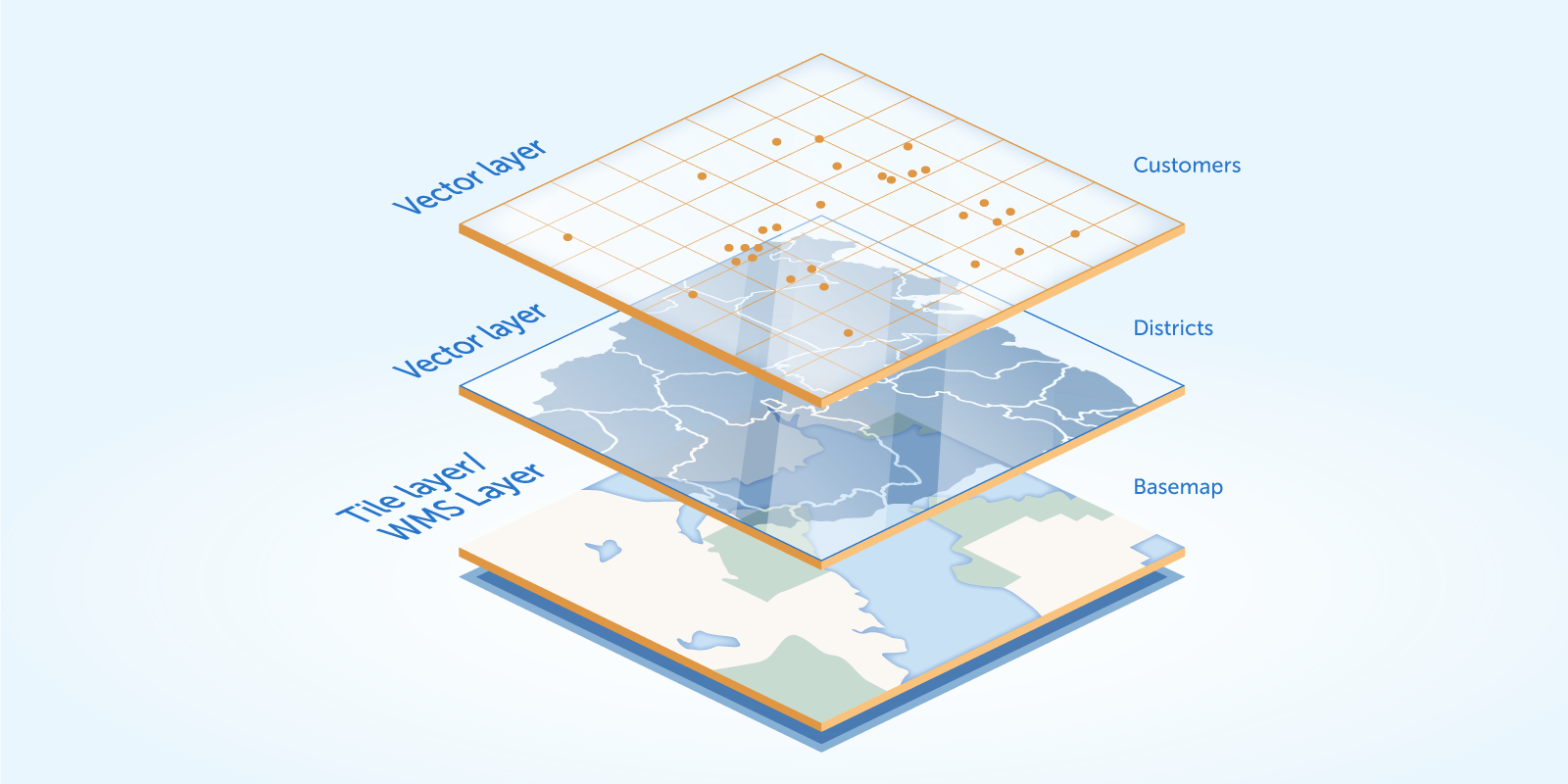
The add-on supports a traditional multi-layer structure commonly used in professional GIS systems. The layers are represented as structural units of maps.
You can use the following types of layers:
-
Raster layers that consist of raster images. Can be provided by XYZ tiles services or Web Map Services.
-
Vector layers that contain geo-objects — entities with geometry attributes.
The add-on supports drawing and interactive editing of geo-entities and provides features for geoanalysis: heatmaps and clustering.
Installation
Follow the instructions in the Add-ons section to install the add-on into your application.
